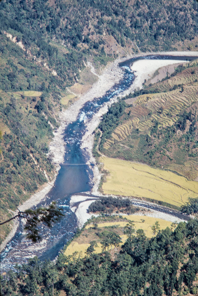
Caption: Date: 1969-10 Location: DadaParajul, Dailekh Description: View of Dungi Shur from above where the Parajuli River (coming from the right) empties into the Lohure River. Bridge across then Lahure. The yellow patches are terraces of ripening rice fields. (Dailekh is at least another seven miles down the trail paralleling the Lohure River, then up the hill to Dailekh bazaars.) Since this photo was taken, a major flood has swept away much of the terraced rice fields, and in the years since, a town of 20-25 houses has been built where the far rice terraces can be seen in the photo, and a one-lane unpaved road to Dailekh from Surkhet has been built through the town (where there is a major bus terminal also). Keywords: Alan Fairbank, Nepal Photo History Project, Peace Corp Photo History, bridge, community, landscape, river, stream